Land Constraints:
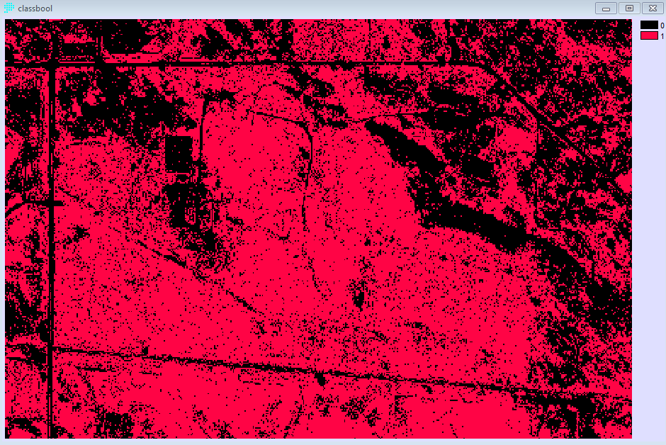
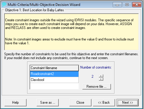
Land constraints were created by first creating a supervised, maximum likelihood classificationon on a 2011 orthophoto from the Township of Langley and then imported into Edrisis and made into a Boolen Map with the follow constraints given value 1; conifer forest, water bodies and previously developed areas and all other areas a value of 0.


==> Back to Methods ===> Back to Spatial Analyses